
Home
/
AFN Murray River Access Map 1 Mildura to Neds Corner
AFN Murray River Access Map 1 Mildura to Neds Corner
Quantity
-
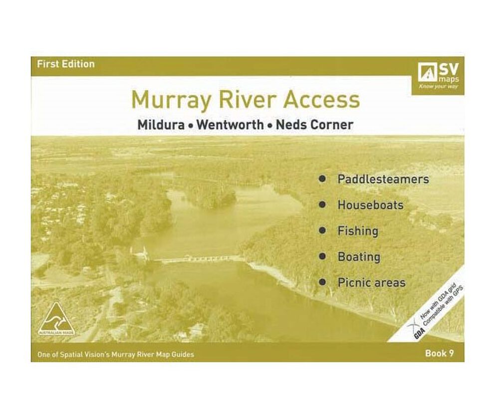
DetailHeading off on an adventure around the Murray River? Murray River Access Maps are the best way to find camping, fishing and boating spots along the Murray River. Map 9 covers areas from Mildura to Neds Corner. These access maps also include information on parks, forests and walking tracks for you and your family. Each map also shows a GDA grid which is compatible with GPS. The Murray River Access Maps are an essential for your next trip to Australia's longest river.
Features
- Map 9 covers Mildura to Neds Corner
- Includes Mildura, Wentworth and Neds Corner
- Find camping, fishing and boating spots along the Murray River
- Includes information on parks, forests and walking tracks
- Ideal for bushwalking, camping, fishing, mountain biking, exploring and car touring
- Each map shows a GDA grid which is compatible with GPS
- Scale: 1:25,000
-
Customer ReviewsNo comments
You May Also Like
80%
OFF
AFN Murray River Access Map 1 Mildura to Neds Corner
AU$ 1.99
AU$ 9.95
80%
OFF
AFN Murray River Access Map 1 Mildura to Neds Corner
AU$ 1.99
AU$ 9.95
80%
OFF
AFN Murray River Access Map 1 Mildura to Neds Corner
AU$ 1.99
AU$ 9.95
80%
OFF
AFN Murray River Access Map 1 Mildura to Neds Corner
AU$ 1.99
AU$ 9.95
80%
OFF
AFN Murray River Access Map 1 Mildura to Neds Corner
AU$ 1.99
AU$ 9.95
80%
OFF
AFN Murray River Access Map 1 Mildura to Neds Corner
AU$ 1.99
AU$ 9.95
80%
OFF
AFN Murray River Access Map 1 Mildura to Neds Corner
AU$ 1.99
AU$ 9.95
80%
OFF
AFN Murray River Access Map 1 Mildura to Neds Corner
AU$ 1.99
AU$ 9.95