


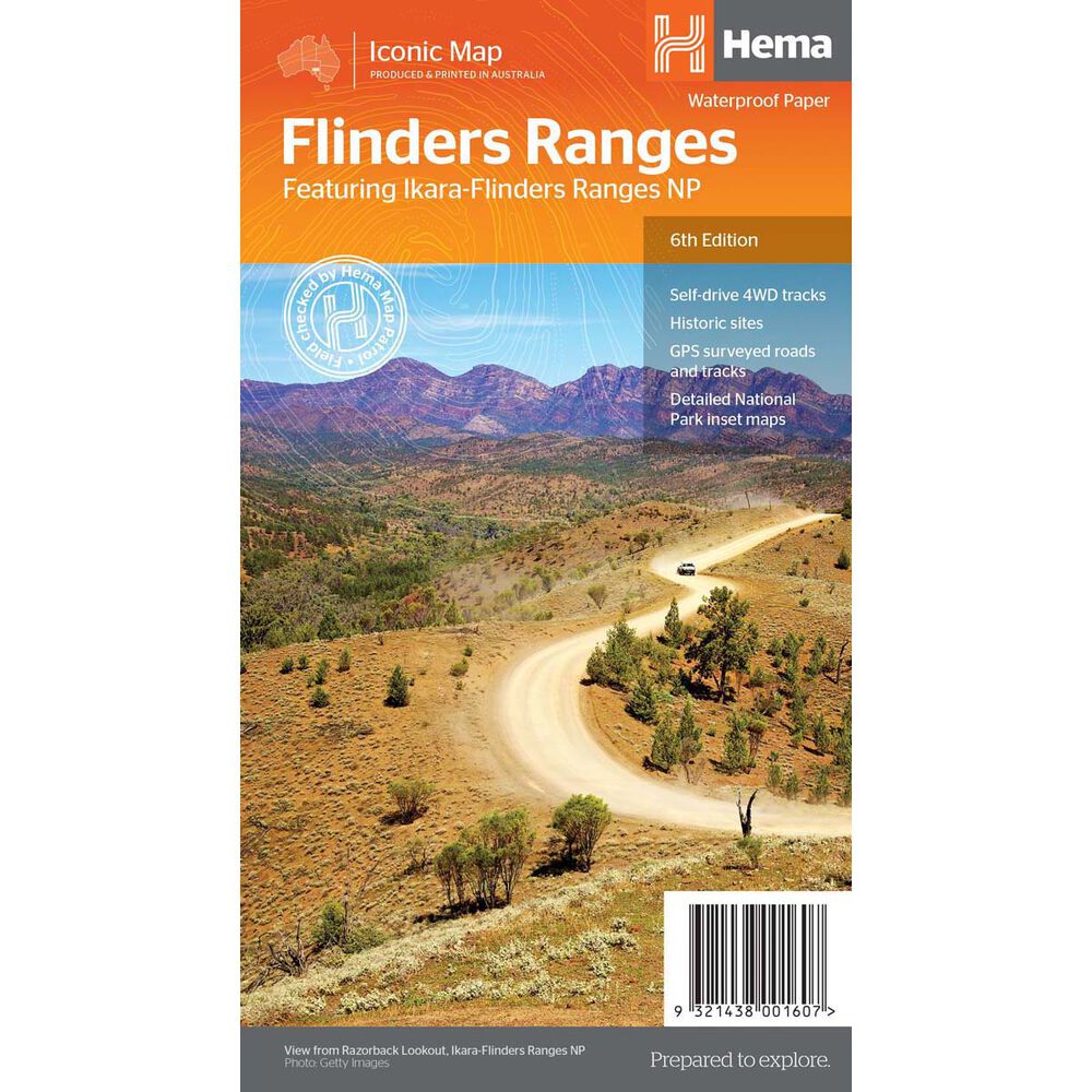
Hema Flinders Ranges Map (6th edition)
Quantity
-
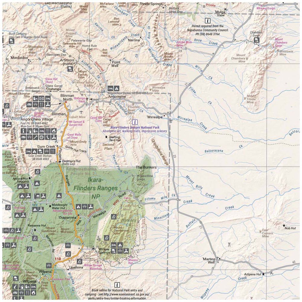
DetailMake planning your next trip easy with the Hema Flinders Ranges Map! This waterproof map has detailed visitor info and national park maps for the Flinders and Vulkathunha-Gammon Ranges. It includes GPS surveyed roads and tracks with camping, walking tracks, historic sites, and all the info you need for a fantastic trip.
Features
- Detailed waterproof map of SA's Flinders Ranges
- National park maps and visitor info on the Flinders and Vulkathunha-Gammon Ranges
- Includes GPS surveyed roads and tracks
- Includes self-drive 4WD tracks
- All maps updated based on the latest 2018 trip
- Makes it easy to plan and navigate through your next trip
-
Customer ReviewsNo comments
You May Also Like
80%
OFF
Hema Flinders Ranges Map (6th edition)
AU$ 2.99
AU$ 14.95
80%
OFF
Hema Flinders Ranges Map (6th edition)
AU$ 2.99
AU$ 14.95
80%
OFF
Hema Flinders Ranges Map (6th edition)
AU$ 2.99
AU$ 14.95
80%
OFF
Hema Flinders Ranges Map (6th edition)
AU$ 2.99
AU$ 14.95
80%
OFF
Hema Flinders Ranges Map (6th edition)
AU$ 2.99
AU$ 14.95
80%
OFF
Hema Flinders Ranges Map (6th edition)
AU$ 2.99
AU$ 14.95
80%
OFF
Hema Flinders Ranges Map (6th edition)
AU$ 2.99
AU$ 14.95
80%
OFF
Hema Flinders Ranges Map (6th edition)
AU$ 2.99
AU$ 14.95