
AFN Murray River Access Map 15 Blanchetown to Mannum
Quantity
-
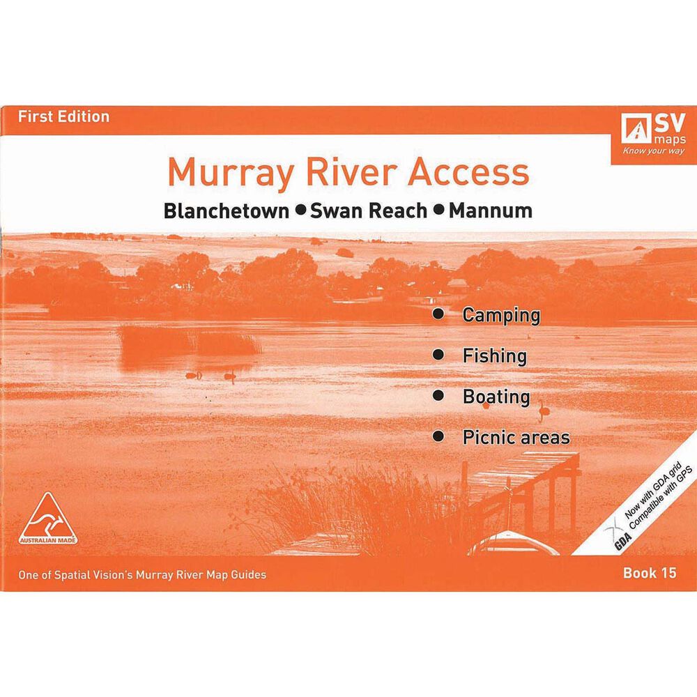
DetailHeading off on an adventure around the Murray River? Murray River Access Maps are the best way to find camping, fishing and boating spots along the Murray River. Map 15 covers areas from Blanchetown to Mannum. These access maps also include information on parks, forests and walking tracks for you and your family. Each map also shows a GDA grid which is compatible with GPS. The Murray River Access Maps are an essential for your next trip to Australia's longest river.
Features
- Map 15 covers Blanchetown to Mannum
- Includes Blanchetown, Swan Reach, Nildottie, Walker Flat, Purnong, Younghusband and Mannum
- Find camping, fishing and boating spots along the Murray River
- Includes information on parks, forests and walking tracks
- Ideal for bushwalking, camping, houseboating, fishing, exploring
- Each map shows a GDA grid which is compatible with GPS
- Scale: 1:25,000
-
Customer ReviewsNo comments
You May Also Like
80%
OFF
AFN Murray River Access Map 15 Blanchetown to Mannum
AU$ 1.99
AU$ 9.95
80%
OFF
AFN Murray River Access Map 15 Blanchetown to Mannum
AU$ 1.99
AU$ 9.95
80%
OFF
AFN Murray River Access Map 15 Blanchetown to Mannum
AU$ 1.99
AU$ 9.95
80%
OFF
AFN Murray River Access Map 15 Blanchetown to Mannum
AU$ 1.99
AU$ 9.95
80%
OFF
AFN Murray River Access Map 15 Blanchetown to Mannum
AU$ 1.99
AU$ 9.95
80%
OFF
AFN Murray River Access Map 15 Blanchetown to Mannum
AU$ 1.99
AU$ 9.95
80%
OFF
AFN Murray River Access Map 15 Blanchetown to Mannum
AU$ 1.99
AU$ 9.95
80%
OFF
AFN Murray River Access Map 15 Blanchetown to Mannum
AU$ 1.99
AU$ 9.95